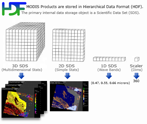
Introduction
L2 CLDMSK (Cloud Mask) Product Description


The Cloud Mask Product indicates whether a given instrument field of view (FOV) of the Earth's surface is unobstructed by clouds or affected by cloud shadows. The cloud mask also provides additional information about the FOV including the presence of: cirrus clouds, ice/snow, and sunglint contamination. Finally flags denoting day/night and land/water are included. The ESDT names are MOD35_L2 (Terra) and MYD35_L2 (Aqua).
L2 CLDMSK (Cloud Mask) Product Description
Product Description:
Cloud Mask Data Issues
Cloud Mask Movie Loops

Key MODIS Scientific Publications
Cloud Mask
Cloud Mask (35_L2) File Specification
(Common Data Language (CDL) Format)
MODIS Atmosphere L2 Cloud Mask Product
Dataset Short Name:
MOD35_L2 (Terra Platform)
MYD35_L2 (Aqua Platform)
 Cloud Product (06_L2) File Format Basics
Product Grid
The MODIS Cloud Mask (35_L2) product contains data that has a spatial resolution (pixel size) of 5 x 5 kilometers (at nadir). Each 35_L2 product file covers a five-minute time interval (based on the start time of each MODIS Level-1B granule), which means the MOD07_L2 output grid is 270 5-km pixels in width and 406 5-km pixels in length for nine consecutive granules. Every tenth granule has an output grid size of 270 by 408 pixels.
Granule Coverage